Mount Mayon Meteor Strike: Satellite Glint, Not UFO
Co-Founder & CEOAviation News Editor delivering trusted coverage across the global aviation industry.
A Harvard physicist identified a light near Mount Mayon as a satellite glint, while CAAP maintained strict flight restrictions due to volcanic ash.
Key Takeaways
- •Harvard physicist identifies the Mayon orb as a satellite glint.
- •CAAP enforced an 11,000-foot no-fly zone under NOTAM B1875/26.
- •Volcanic ash hazards caused flight disruptions at Bicol International.
- •Satellite proliferation increases visual misidentifications in airspace.
Analysis of the Mount Mayon Atmospheric Event
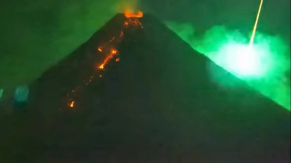
Following a widely publicized Mount Mayon meteor strike on May 25, 2026, footage showing an orb of light rising behind the volcano sparked intense debate regarding potential Unidentified Anomalous Phenomena. However, Harvard University theoretical physicist Avi Loeb has provided a scientific explanation, attributing the visual phenomenon to a satellite glint misidentification. According to Loeb, with over 10,000 communications satellites currently operating in Low Earth Orbit, the reflection of sunlight off these structures creates transient light patterns frequently mistaken for anomalies.
While the public focused on the visual display, the Civil Aviation Authority of the Philippines (CAAP) was actively managing a significant aviation volcanic ash hazard. The event occurred while the volcano was under active monitoring by the Philippine Institute of Volcanology and Seismology (PHIVOLCS), necessitating stringent airspace management to protect commercial traffic.
Airspace Restrictions and Safety Protocols
During the period surrounding the meteor event, the Civil Aviation Authority of the Philippines enforced NOTAM B1875/26. This directive established a strict no-fly zone, prohibiting aircraft from operating from the surface up to 11,000 feet within a 6-kilometer radius of the summit. These CAAP flight restrictions were critical to preventing engine flameouts and navigation system interference caused by volcanic ash and airborne particles.
For domestic carriers, including Cebu Pacific and Philippine Airlines, the eruption necessitated operational adjustments at Bicol International Airport. These airlines faced localized flight cancellations and rerouting, demonstrating the immediate impact of volcanic activity on regional connectivity. The situation mirrors the 2010 Eyjafjallajökull eruption in Iceland, which resulted in the cancellation of over 100,000 flights, underscoring the necessity of the current safety measures around Mount Mayon.
The Proliferation of LEO Satellites
This incident highlights a growing trend in aviation: the increasing frequency of pilot and public misidentification of Low Earth Orbit satellites as UAPs. As mega-constellations continue to expand, aviation authorities are tasked with differentiating between routine orbital reflections and genuine flight safety concerns. Similar to the guidance issued following pilot sightings of Starlink satellite trains, industry experts suggest that increased awareness of orbital mechanics is essential to reducing unnecessary reporting and maintaining focus on genuine airspace hazards.
What Comes Next: Airspace Monitoring
The Civil Aviation Authority of the Philippines continues to monitor volcanic output to determine when it is safe to lift the current altitude restrictions. Future adjustments to the exclusion zone remain contingent upon data provided by PHIVOLCS regarding ash plume height and atmospheric dispersion. Pilots operating in the region are advised to monitor updated Notice to Air Missions filings to ensure compliance with the evolving safety perimeter.
Why This Matters for Airspace Safety
For aviation professionals, this event serves as a reminder of the dual challenges posed by natural hazards and the evolving visual environment of the upper atmosphere. While the 'UFO' speculation remains a point of public interest, the operational reality for the Civil Aviation Authority of the Philippines remains focused on the mitigation of volcanic ash risks. Accurate identification of atmospheric phenomena is increasingly vital to ensure that safety resources are directed toward genuine threats rather than optical artifacts.
Frequently Asked Questions
- Why were flights restricted near Mount Mayon?
- The Civil Aviation Authority of the Philippines issued NOTAM B1875/26 to enforce an 11,000-foot no-fly zone. This was necessary to protect aircraft engines and navigation systems from volcanic ash hazards during the eruption.
- What was the orb seen behind Mount Mayon?
- Harvard physicist Avi Loeb identified the light as a satellite glint. It is a common occurrence caused by sunlight reflecting off one of the more than 10,000 communications satellites currently in Low Earth Orbit.
Get breaking commercial aviation news and expert airline analysis at omniflights.com. From aircraft production to supply chains, commercial aviation manufacturing news is covered at omniflights.com/manufacturing.

Written by Hardik Vishwakarma
Co-Founder & Aviation News Editor leading initiatives that improve trust and visibility across the global aviation industry. Covers airlines, airports, safety, and emerging technology.
Visit ProfileYou Might Also Like
Discover more aviation news based on similar topics
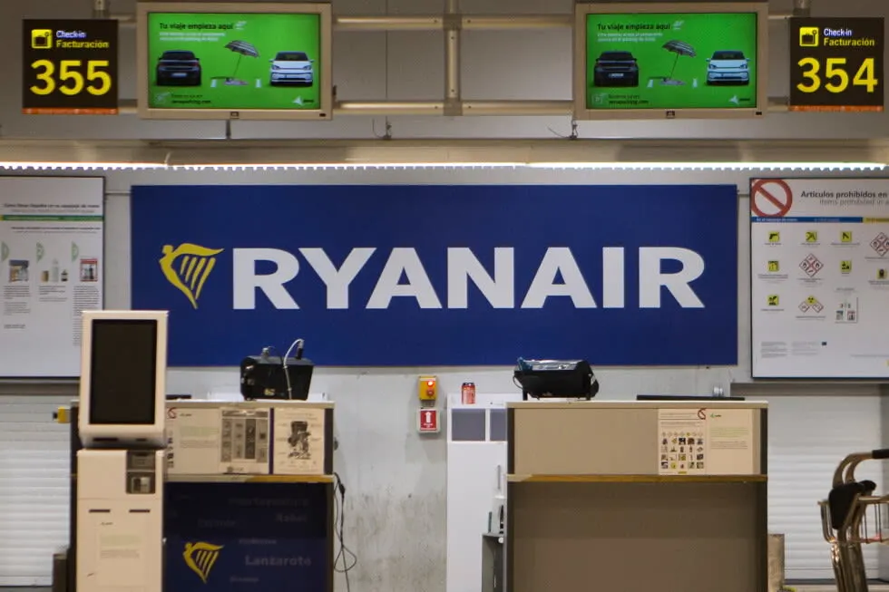
Ryanair 737-800 Decompression Probe Taken Over by NTSB
The NTSB took over the investigation of a Ryanair Boeing 737-800 flight after an engine failure and decompression injured a 61-year-old passenger.
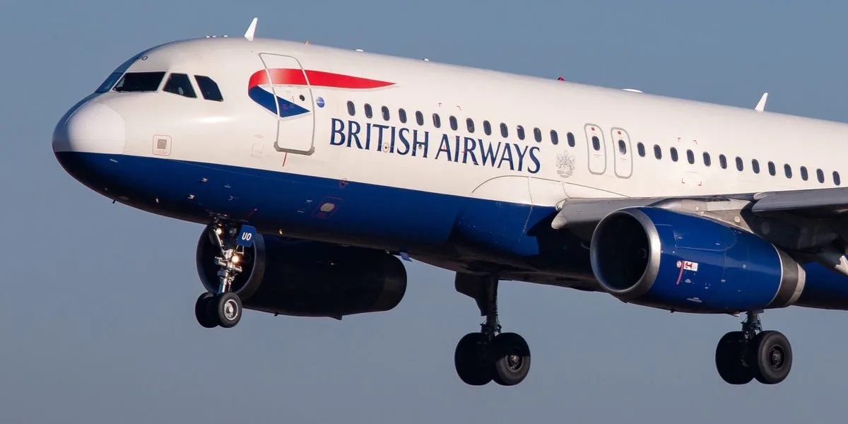
London Gatwick Airport Runway Blocked by British Airways A320
A British Airways A320 nose-wheel fault at London Gatwick forced 14 diversions and nine aircraft to declare fuel emergencies.

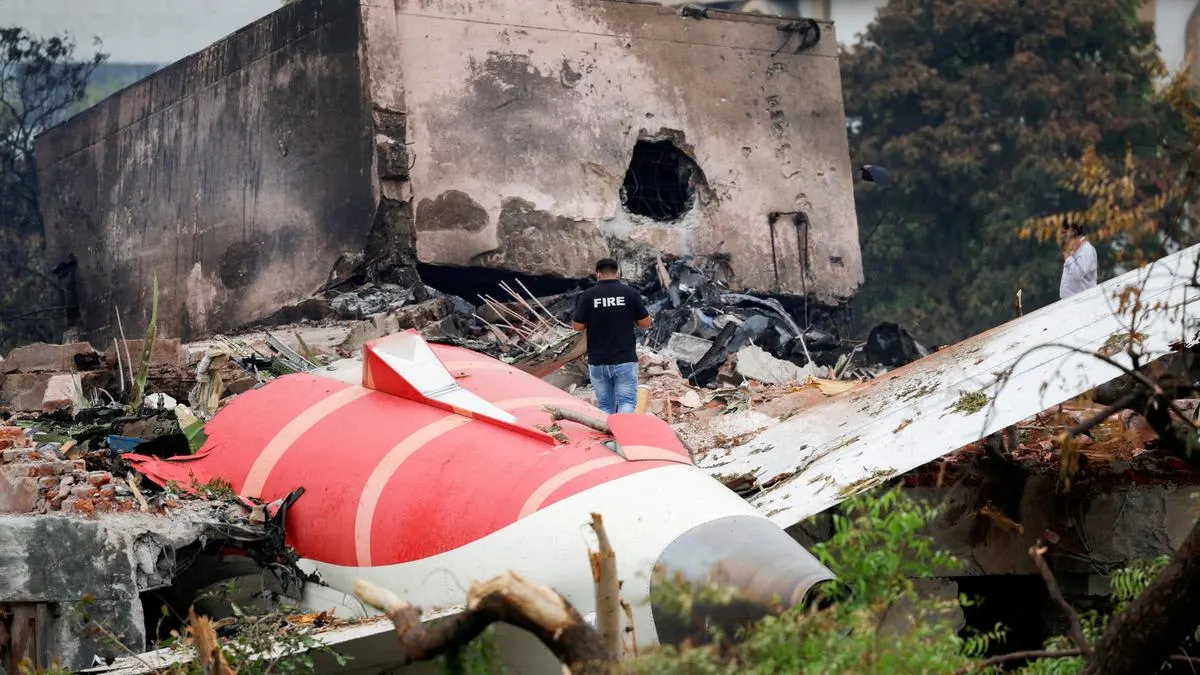
UPS, Boeing Sued Over 2025 Louisville MD-11F Crash
The family of a ground victim is suing UPS, Boeing, GE, and VT San Antonio Aerospace following the fatal 2025 Louisville cargo jet crash.
Air India AI171: AAIB Nears Final Report on 260-Fatality Crash
The AAIB expects to release a final report by October 2026 on the Air India Flight 171 crash that caused 260 fatalities in Ahmedabad.
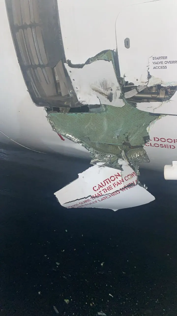
Air Peace A320 Damaged by NAHCO Ground Equipment in Lagos
An Air Peace Airbus A320 was grounded at Lagos MMA1 after a NAHCO ground equipment collision caused by a worker's medical emergency.
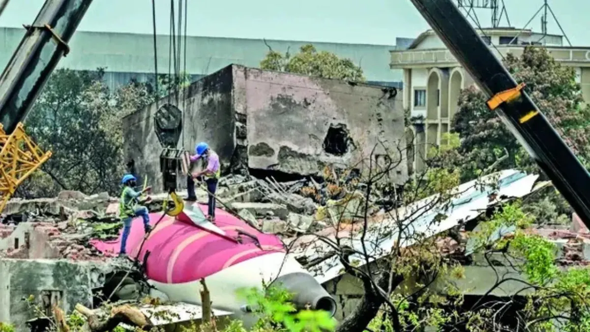
Air India Crash: AAIB Sets October Deadline for Final Report
The AAIB told the Supreme Court that the draft report on the Ahmedabad crash, which killed 260 people, is expected by October 2026.